
Gordo topographic map
Interactive map
Click on the map to display elevation.
About this map
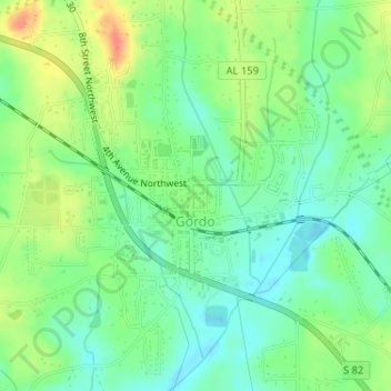
Name: Gordo topographic map, elevation, terrain.
Location: Gordo, Pickens County, Alabama, United States (33.30870 -87.91956 33.33501 -87.88776)
Average elevation: 285 ft
Minimum elevation: 220 ft
Maximum elevation: 384 ft
Other topographic maps
Click on a map to view its topography, its elevation and its terrain.
Beaver Town
United States > Alabama > Pickens County
Beaver Town, Pickens County, Alabama, United States
Average elevation: 256 ft
Carrollton
United States > Alabama > Pickens County
Carrollton, Pickens County, Alabama, United States
Average elevation: 236 ft
Reform
United States > Alabama > Pickens County > Reform
Reform, Pickens County, Alabama, 35481, United States
Average elevation: 279 ft