
Haugesund topographic map
Interactive map
Click on the map to display elevation.
About this map
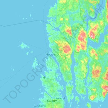
Name: Haugesund topographic map, elevation, terrain.
Location: Haugesund, Rogaland, 5527, Noruega (59.25381 5.10812 59.57381 5.42812)
Average elevation: 79 ft
Minimum elevation: -3 ft
Maximum elevation: 1,040 ft
Other topographic maps
Click on a map to view its topography, its elevation and its terrain.