
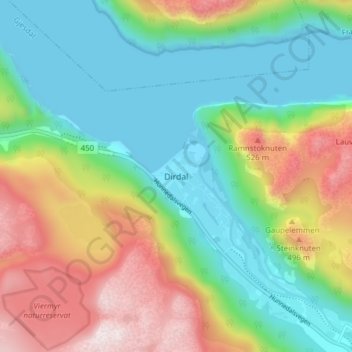
Dirdal topographic map
Interactive map
Click on the map to display elevation.
About this map
Name: Dirdal topographic map, elevation, terrain.
Location: Dirdal, Gjesdal, Rogaland, Noruega (58.81454 6.16132 58.85454 6.20132)
Average elevation: 827 ft
Minimum elevation: -13 ft
Maximum elevation: 2,379 ft
Other topographic maps
Click on a map to view its topography, its elevation and its terrain.