
Assiniboine River topographic map
Interactive map
Click on the map to display elevation.
About this map
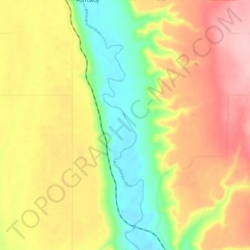
Name: Assiniboine River topographic map, elevation, terrain.
Location: Assiniboine River, Manitoba, Kanada (50.69012 -101.43526 50.75000 -101.41223)
Average elevation: 1,578 ft
Minimum elevation: 1,319 ft
Maximum elevation: 1,827 ft
Other topographic maps
Click on a map to view its topography, its elevation and its terrain.
Fairford River
Fairford River, Provincial Trunk Highway 6, Fairford, Manitoba, R0C 0X0, Kanada
Average elevation: 817 ft