
Beaver Hill Lake topographic map
Interactive map
Click on the map to display elevation.
About this map
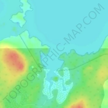
Name: Beaver Hill Lake topographic map, elevation, terrain.
Location: Beaver Hill Lake, Manitoba, Kanada (54.24848 -95.03716 54.24858 -95.03706)
Average elevation: 676 ft
Minimum elevation: 636 ft
Maximum elevation: 778 ft
Other topographic maps
Click on a map to view its topography, its elevation and its terrain.
Fairford River
Fairford River, Provincial Trunk Highway 6, Fairford, Manitoba, R0C 0X0, Kanada
Average elevation: 817 ft