
马灌镇 topographic map
Interactive map
Click on the map to display elevation.
About this map
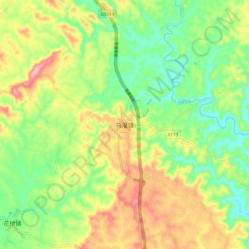
Name: 马灌镇 topographic map, elevation, terrain.
Location: 马灌镇, 忠县, 重庆市, 中国 (30.35271 107.69689 30.43271 107.77689)
Average elevation: 1,601 ft
Minimum elevation: 1,375 ft
Maximum elevation: 1,909 ft
Other topographic maps
Click on a map to view its topography, its elevation and its terrain.