
上坪村 topographic map
Interactive map
Click on the map to display elevation.
About this map
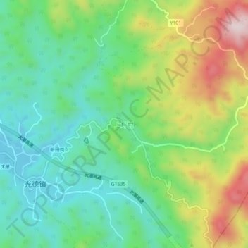
Name: 上坪村 topographic map, elevation, terrain.
Location: 上坪村, 梅州市, 广东省, 中国 (24.13357 116.72892 24.17357 116.76892)
Average elevation: 1,142 ft
Minimum elevation: 610 ft
Maximum elevation: 2,152 ft
Other topographic maps
Click on a map to view its topography, its elevation and its terrain.