
松口镇 topographic map
Interactive map
Click on the map to display elevation.
About this map
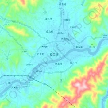
Name: 松口镇 topographic map, elevation, terrain.
Location: 松口镇, 梅州市, 广东省, 中国 (24.46342 116.36721 24.54342 116.44721)
Average elevation: 469 ft
Minimum elevation: 167 ft
Maximum elevation: 1,693 ft
Other topographic maps
Click on a map to view its topography, its elevation and its terrain.