Geolocate

Dover topographic map

Click on the map to display elevation.

About this map

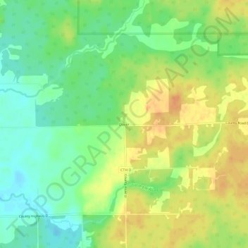
Name: Dover topographic map, elevation, terrain.

Location: Dover, Town of Emery, Price County, Wisconsin, United States (45.65162 -90.20765 45.69162 -90.16765)

Average elevation: 1,654 ft

Minimum elevation: 1,598 ft

Maximum elevation: 1,709 ft

Price County trails, hiking, mountain biking, running and outdoor activities

Other topographic maps

Click on a map to view its topography, its elevation and its terrain.

Park Falls

United States > Wisconsin > Price County

Average elevation: 1,516 ft

Kennan

United States > Wisconsin > Price County

Average elevation: 1,499 ft

Phillips

United States > Wisconsin > Price County

Average elevation: 1,463 ft

Catawba

United States > Wisconsin > Price County

Average elevation: 1,493 ft

Gear up for your next adventure:

🧭Hiking Compass - Precision compass for reliable navigation in the wilderness
🧯Portable Fire Pit - Compact fire pit for camping spots
🪶Multi‑Purpose Knife - Useful blade for camp and trail
🪶Trail Camera - Capture wildlife on your hikes
📡Handheld GPS Device - Reliable handheld GPS for outdoor navigation

As an Amazon Associate, this site earns from qualifying purchases at no extra cost to you.