
Remada topographic map
Interactive map
Click on the map to display elevation.
About this map
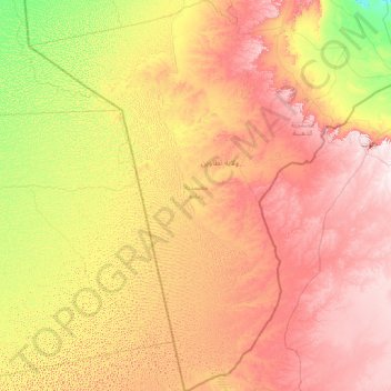
Name: Remada topographic map, elevation, terrain.
Location: Remada, Tataouine, Tunisie (30.23024 8.35683 32.80062 10.80197)
Average elevation: 1,020 ft
Minimum elevation: 256 ft
Maximum elevation: 2,218 ft
Other topographic maps
Click on a map to view its topography, its elevation and its terrain.