
temple topographic map
Click on the map to display elevation.
About this map
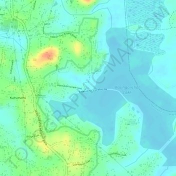
Name: temple topographic map, elevation, terrain.
Location: temple, Mavelikkara, Alappuzha District, Kerala, India (9.20747 76.63976 9.20772 76.63994)
Average elevation: 49 ft
Minimum elevation: 7 ft
Maximum elevation: 157 ft
Other topographic maps
Click on a map to view its topography, its elevation and its terrain.