Geolocate

Edappon topographic map

Click on the map to display elevation.

About this map

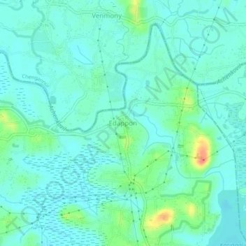
Name: Edappon topographic map, elevation, terrain.

Location: Edappon, Mavelikkara, Alappuzha District, Kerala, 690558, India (9.20782 76.60691 9.24782 76.64691)

Average elevation: 39 ft

Minimum elevation: 0 ft

Maximum elevation: 184 ft

Other topographic maps

Click on a map to view its topography, its elevation and its terrain.

temple

India > Kerala > Mavelikkara

Average elevation: 49 ft

Gear up for your next adventure:

🔊Portable Camp Speaker - Music and alerts at camp
🏥Hiking First Aid Kits - Comprehensive medical kits for remote trail injuries
🔦Compact Flashlight - Reliable flashlight for emergencies
🛏️Cold Weather Sleeping Bag - Warm sleeping bag for cold conditions
🦶Hiking Gaiters - Keep debris and water out of your boots

As an Amazon Associate, this site earns from qualifying purchases at no extra cost to you.