Geolocate

Lac MacLeod topographic map

Click on the map to display elevation.
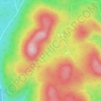
About this map

Name: Lac MacLeod topographic map, elevation, terrain.

Location: Lac MacLeod, Lac-Jacques-Cartier, La Côte-de-Beaupré, Capitale-Nationale, Quebec, Canada (47.46488 -70.97774 47.46986 -70.97142)

Average elevation: 3,258 ft

Minimum elevation: 2,733 ft

Maximum elevation: 3,698 ft

Other topographic maps

Click on a map to view its topography, its elevation and its terrain.

Gear up for your next adventure:

👟Men's Trail Runners - Lightweight footwear for fast-paced exploration and light hiking
🧭GPS Watch Accessories - Bands and chargers for GPS watches
Backpacking Tent - Lightweight and durable tent for multi‑day hikes
📻Weather Alert Radios - Stay informed of storm risks while off-the-grid
🧭Outdoor Navigation Book - Learn advanced navigation skills

As an Amazon Associate, this site earns from qualifying purchases at no extra cost to you.