
北独乐河村 topographic map
Interactive map
Click on the map to display elevation.
About this map
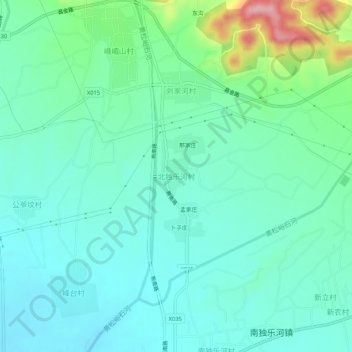
Name: 北独乐河村 topographic map, elevation, terrain.
Location: 北独乐河村, 平谷区, 北京市, 中国 (40.16941 117.18652 40.20941 117.22652)
Average elevation: 243 ft
Minimum elevation: 118 ft
Maximum elevation: 673 ft
Other topographic maps
Click on a map to view its topography, its elevation and its terrain.