
峨嵋山村 topographic map
Interactive map
Click on the map to display elevation.
About this map
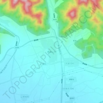
Name: 峨嵋山村 topographic map, elevation, terrain.
Location: 峨嵋山村, 平谷区, 北京市, 中国 (40.18372 117.17795 40.22372 117.21795)
Average elevation: 404 ft
Minimum elevation: 157 ft
Maximum elevation: 1,417 ft
Other topographic maps
Click on a map to view its topography, its elevation and its terrain.