
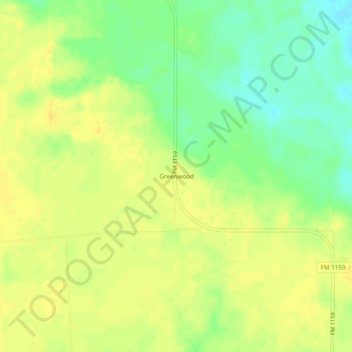
Greenwood topographic map
Interactive map
Click on the map to display elevation.
About this map
Name: Greenwood topographic map, elevation, terrain.
Location: Greenwood, Red River County, Texas, United States (33.79177 -95.00356 33.83177 -94.96356)
Average elevation: 397 ft
Minimum elevation: 344 ft
Maximum elevation: 430 ft
Other topographic maps
Click on a map to view its topography, its elevation and its terrain.
Boxelder
United States > Texas > Red River County
Boxelder, Red River County, Texas, United States
Average elevation: 361 ft
Clarksville
United States > Texas > Red River County
Clarksville, Red River County, Texas, 75426, United States
Average elevation: 433 ft
Bogata
United States > Texas > Red River County
Bogata, Red River County, Texas, 75417, United States
Average elevation: 417 ft
Albion
United States > Texas > Red River County
Albion, Red River County, Texas, United States
Average elevation: 381 ft