
Thank you for supporting this site ❤️
Make a donation
Make a donation
Gear up for your next adventure:
As an Amazon Associate, this site earns from qualifying purchases at no extra cost to you.
Lyster topographic map
Click on the map to display elevation.
Thank you for supporting this site ❤️
Make a donation
Make a donation
Gear up for your next adventure:
As an Amazon Associate, this site earns from qualifying purchases at no extra cost to you.
About this map
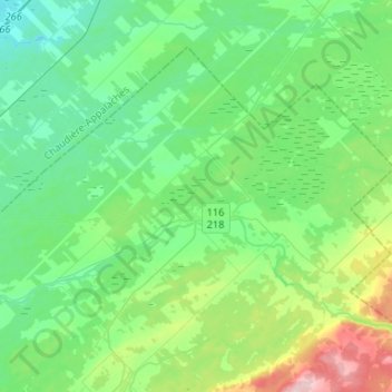
Name: Lyster topographic map, elevation, terrain.
Location: Lyster, L'Érable, Centre-du-Québec, Quebec, G0S 1V0, Canada (46.31400 -71.74133 46.45167 -71.47898)
Average elevation: 476 ft
Minimum elevation: 328 ft
Maximum elevation: 938 ft
Thank you for supporting this site ❤️
Make a donation
Make a donation
Gear up for your next adventure:
As an Amazon Associate, this site earns from qualifying purchases at no extra cost to you.