
官沟社区 topographic map
Interactive map
Click on the map to display elevation.
About this map
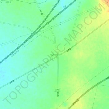
Name: 官沟社区 topographic map, elevation, terrain.
Location: 官沟社区, 滁州市, 安徽省, 中国 (32.79519 117.39706 32.83519 117.43706)
Average elevation: 167 ft
Minimum elevation: 121 ft
Maximum elevation: 240 ft
Other topographic maps
Click on a map to view its topography, its elevation and its terrain.