
Langya Shan topographic map
Interactive map
Click on the map to display elevation.
About this map
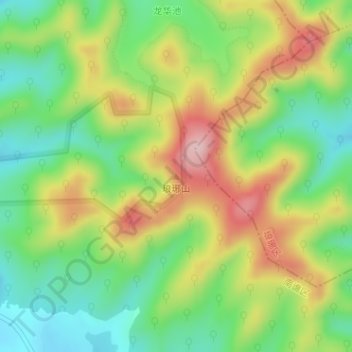
Name: Langya Shan topographic map, elevation, terrain.
Location: Langya Shan, 滁州市, 安徽省, 中国 (32.28189 118.26273 32.28199 118.26283)
Average elevation: 587 ft
Minimum elevation: 276 ft
Maximum elevation: 1,007 ft
Other topographic maps
Click on a map to view its topography, its elevation and its terrain.