
Alpine topographic map
Click on the map to display elevation.
About this map
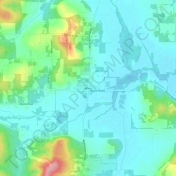
Name: Alpine topographic map, elevation, terrain.
Location: Alpine, Benton County, Oregon, 97456, United States (44.30973 -123.38057 44.34973 -123.34057)
Average elevation: 367 ft
Minimum elevation: 266 ft
Maximum elevation: 732 ft
Benton County trails, hiking, mountain biking, running and outdoor activities
Other topographic maps
Click on a map to view its topography, its elevation and its terrain.