
Edwards Islet topographic map
Click on the map to display elevation.
About this map
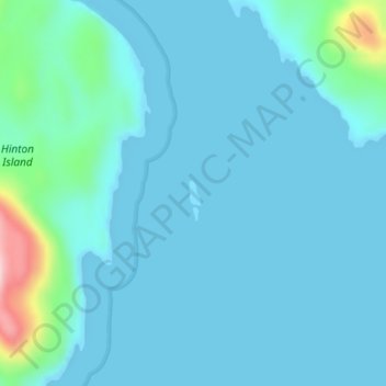
Name: Edwards Islet topographic map, elevation, terrain.
Average elevation: 85 ft
Minimum elevation: 0 ft
Maximum elevation: 728 ft
Other topographic maps
Click on a map to view its topography, its elevation and its terrain.
Gibson Island
Canada > British Columbia > North Coast Regional District > Area C (South Skeena)
Average elevation: 26 ft