
Thank you for supporting this site ❤️
Make a donation
Make a donation
Gear up for your next adventure:
As an Amazon Associate, this site earns from qualifying purchases at no extra cost to you.
Faraday topographic map
Click on the map to display elevation.
Thank you for supporting this site ❤️
Make a donation
Make a donation
Gear up for your next adventure:
As an Amazon Associate, this site earns from qualifying purchases at no extra cost to you.
About this map
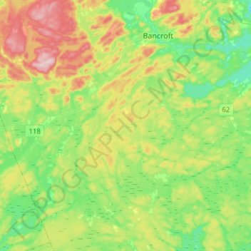
Name: Faraday topographic map, elevation, terrain.
Location: Faraday, Hastings County, Central Ontario, Ontario, Canada (44.90562 -78.03615 45.08191 -77.78886)
Average elevation: 1,227 ft
Minimum elevation: 965 ft
Maximum elevation: 1,696 ft
Thank you for supporting this site ❤️
Make a donation
Make a donation
Gear up for your next adventure:
As an Amazon Associate, this site earns from qualifying purchases at no extra cost to you.