Geolocate

Lac du Bonnet topographic map

Click on the map to display elevation.

About this map

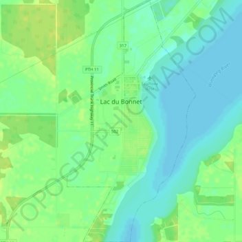
Name: Lac du Bonnet topographic map, elevation, terrain.

Location: Lac du Bonnet, Manitoba, Canada (50.23637 -96.07329 50.26826 -96.04665)

Average elevation: 853 ft

Minimum elevation: 827 ft

Maximum elevation: 879 ft

Gear up for your next adventure:

📌Outdoor GPS Map App - Apps and devices for digital topographic navigation
🗺️NatGeo Topo Maps - High-quality waterproof printed topographic maps of US Parks
🌡️Handheld Weather Meters - Measure wind, temp, and pressure for safe mountain travel
🏫Relief Map Kits - Hands-on tools for teaching landforms and elevation
🎒Trekking Poles - Sturdy poles for balance and stability on rough terrain

As an Amazon Associate, this site earns from qualifying purchases at no extra cost to you.