Geolocate

新宾满族自治县 topographic map

Interactive map

Click on the map to display elevation.

About this map

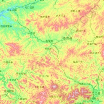
Name: 新宾满族自治县 topographic map, elevation, terrain.

Location: 新宾满族自治县, 抚顺市, Liaoning, 113200, Chine (41.23690 124.30041 41.98581 125.46511)

Average elevation: 1,627 ft

Minimum elevation: 400 ft

Maximum elevation: 4,242 ft

Other topographic maps

Click on a map to view its topography, its elevation and its terrain.

皇姑区

Chine > Liaoning > 皇姑区

皇姑区, Shenyang, 皇姑区, Liaoning, 110031, Chine

Average elevation: 180 ft

Yingkou

Chine > Liaoning > Yingkou

Yingkou, Liaoning, 115000, Chine

Average elevation: 315 ft

Huludao

Chine > Liaoning > Huludao

Huludao, 连山区, 葫芦岛市, Liaoning, Chine

Average elevation: 167 ft

Dandong

Chine > Liaoning > Dandong

Dandong, 振兴区, 丹东市, Liaoning, 118000, Chine

Average elevation: 194 ft

Shenyang

Chine > Liaoning

Shenyang, Liaoning, Chine

Average elevation: 509 ft