
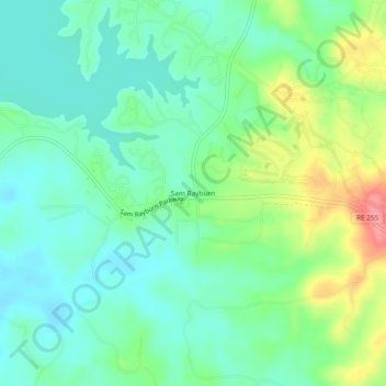
Sam Rayburn topographic map
Click on the map to display elevation.
About this map
Name: Sam Rayburn topographic map, elevation, terrain.
Location: Sam Rayburn, Jasper County, Texas, 75931, United States (31.04408 -94.05575 31.08408 -94.01575)
Average elevation: 217 ft
Minimum elevation: 121 ft
Maximum elevation: 430 ft
Jasper County trails, hiking, mountain biking, running and outdoor activities
Other topographic maps
Click on a map to view its topography, its elevation and its terrain.