
青光镇 topographic map
Interactive map
Click on the map to display elevation.
About this map
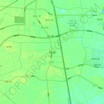
Name: 青光镇 topographic map, elevation, terrain.
Location: 青光镇, 北辰区, 天津市, 中国 (39.17434 116.99184 39.25434 117.07184)
Average elevation: 26 ft
Minimum elevation: 3 ft
Maximum elevation: 43 ft
Other topographic maps
Click on a map to view its topography, its elevation and its terrain.