
大张庄镇 topographic map
Interactive map
Click on the map to display elevation.
About this map
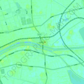
Name: 大张庄镇 topographic map, elevation, terrain.
Location: 大张庄镇, 北辰区, 天津市, 中国 (39.24660 117.18434 39.32660 117.26434)
Average elevation: 13 ft
Minimum elevation: -10 ft
Maximum elevation: 33 ft
Other topographic maps
Click on a map to view its topography, its elevation and its terrain.