
双青公园 topographic map
Interactive map
Click on the map to display elevation.
About this map
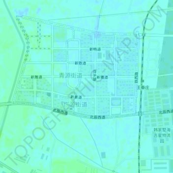
Name: 双青公园 topographic map, elevation, terrain.
Location: 双青公园, 广源街道, 北辰区, 天津市, 中国 (39.20588 117.07140 39.20892 117.07981)
Average elevation: 23 ft
Minimum elevation: 13 ft
Maximum elevation: 33 ft
Other topographic maps
Click on a map to view its topography, its elevation and its terrain.