Geolocate

Imnaha topographic map

Click on the map to display elevation.

About this map

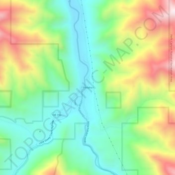
Name: Imnaha topographic map, elevation, terrain.

Location: Imnaha, Wallowa County, Oregon, 97842, United States (45.53932 -116.85321 45.57932 -116.81321)

Average elevation: 2,825 ft

Minimum elevation: 1,890 ft

Maximum elevation: 4,472 ft

Wallowa County trails, hiking, mountain biking, running and outdoor activities

Other topographic maps

Click on a map to view its topography, its elevation and its terrain.

Enterprise

United States > Oregon > Wallowa County

Average elevation: 3,812 ft

Gear up for your next adventure:

🌡️Handheld Weather Meters - Measure wind, temp, and pressure for safe mountain travel
🖼️Topo Map Wall Art - Decorative topographic prints of famous peaks and regions
🧴Hand Sanitizer - Keep hands clean while hiking
👖Convertible Hiking Pants - Versatile zip-off pants for changing altitudes and temperatures
🛰️Satellite Messengers - Emergency SOS and two-way messaging for off-grid adventures

As an Amazon Associate, this site earns from qualifying purchases at no extra cost to you.