
落路下村 topographic map
Interactive map
Click on the map to display elevation.
About this map
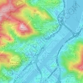
Name: 落路下村 topographic map, elevation, terrain.
Location: 落路下村, 落路下, 火炭, 沙田區, 新界, 香港, 中国 (22.38180 114.18148 22.42180 114.22148)
Average elevation: 335 ft
Minimum elevation: -13 ft
Maximum elevation: 1,224 ft
Other topographic maps
Click on a map to view its topography, its elevation and its terrain.