
崇基山 topographic map
Interactive map
Click on the map to display elevation.
About this map
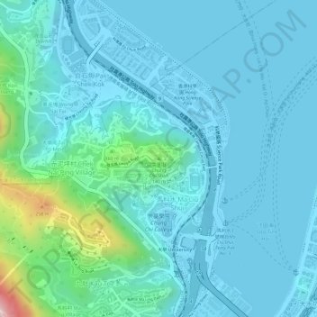
Name: 崇基山 topographic map, elevation, terrain.
Location: 崇基山, 沙田區, 新界, 香港, 中国 (22.42069 114.20858 22.42079 114.20868)
Average elevation: 154 ft
Minimum elevation: -13 ft
Maximum elevation: 1,076 ft
Other topographic maps
Click on a map to view its topography, its elevation and its terrain.