Geolocate

Spier topographic map

Click on the map to display elevation.

About this map

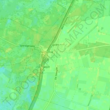
Name: Spier topographic map, elevation, terrain.

Location: Spier, Midden-Drenthe, Drenthe, Netherlands (52.79589 6.45545 52.83496 6.49380)

Average elevation: 46 ft

Minimum elevation: 23 ft

Maximum elevation: 66 ft

Other topographic maps

Click on a map to view its topography, its elevation and its terrain.

Hondsrug

Netherlands > Drenthe > Exloo

Average elevation: 62 ft

Lhee

Netherlands > Drenthe

Average elevation: 36 ft

Zuidbarge

Netherlands > Drenthe > Emmen

Average elevation: 66 ft

Gear up for your next adventure:

🔦Compact Flashlight - Reliable flashlight for emergencies
🏔️Mountain Trail Maps - High‑detail maps for popular peaks
🌲Outdoor Survival Books - Best books on survival skills
📌Outdoor GPS Map App - Apps and devices for digital topographic navigation
🪑Ultralight Camp Chairs - Portable seating for resting after a long day of mapping

As an Amazon Associate, this site earns from qualifying purchases at no extra cost to you.