
广昌县工业园区 topographic map
Interactive map
Click on the map to display elevation.
About this map
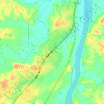
Name: 广昌县工业园区 topographic map, elevation, terrain.
Location: 广昌县工业园区, 广昌县, 抚州市, 江西省, 中国 (26.85836 116.31202 26.89513 116.34285)
Average elevation: 433 ft
Minimum elevation: 374 ft
Maximum elevation: 515 ft
Other topographic maps
Click on a map to view its topography, its elevation and its terrain.