
旴江镇 topographic map
Interactive map
Click on the map to display elevation.
About this map
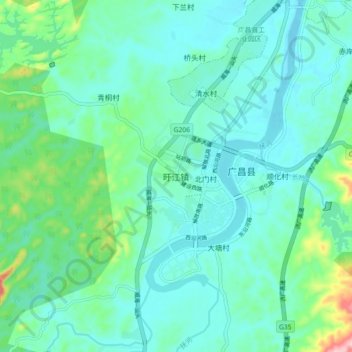
Name: 旴江镇 topographic map, elevation, terrain.
Location: 旴江镇, 广昌县, 抚州市, 江西省, 中国 (26.80415 116.27420 26.88415 116.35420)
Average elevation: 502 ft
Minimum elevation: 381 ft
Maximum elevation: 1,027 ft
Other topographic maps
Click on a map to view its topography, its elevation and its terrain.