Geolocate

Vernet topographic map

Click on the map to display elevation.

About this map

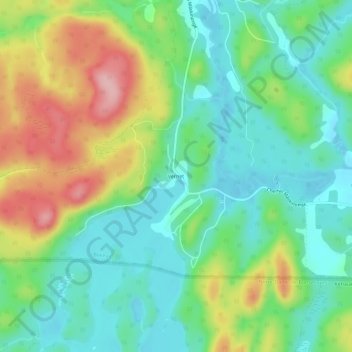
Name: Vernet topographic map, elevation, terrain.

Location: Vernet, Boileau, Papineau, Outaouais, Quebec, Canada (45.84382 -74.78757 45.88382 -74.74757)

Average elevation: 725 ft

Minimum elevation: 535 ft

Maximum elevation: 1,083 ft

Other topographic maps

Click on a map to view its topography, its elevation and its terrain.

Lac au Loup

Canada > Quebec > Papineau > Boileau

Average elevation: 833 ft

Gear up for your next adventure:

🦺Reflective Outdoor Gear - Safety gear for low‑light conditions
🥘Titanium Cookware - Durable, featherlight pots and pans for backpacking
🦶Carbon Trekking Poles - Reduce knee impact on steep descents with ultra-light poles
🧤Hiking Gloves - Protective gloves for rugged trails
🔥Fast-Boil Camping Stoves - Efficient cooking systems for quick trail meals

As an Amazon Associate, this site earns from qualifying purchases at no extra cost to you.