Geolocate

Spruce Grove topographic map

Click on the map to display elevation.

About this map

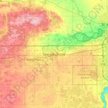
Name: Spruce Grove topographic map, elevation, terrain.

Location: Spruce Grove, Alberta, T7X 2Z7, Canada (53.38520 -114.06350 53.70520 -113.74350)

Average elevation: 2,326 ft

Minimum elevation: 2,044 ft

Maximum elevation: 2,641 ft

Gear up for your next adventure:

🪑Ultralight Camp Chairs - Portable seating for resting after a long day of mapping
📱Heavy-Duty Phone Cases - Drop-proof and waterproof protection for outdoor navigation
🔊Portable Camp Speaker - Music and alerts at camp
🔭Compact Binoculars - HD vision for scouting terrain and identifying distant landmarks
🪶Paracord Bracelet - Survival bracelet with built‑in tools

As an Amazon Associate, this site earns from qualifying purchases at no extra cost to you.