
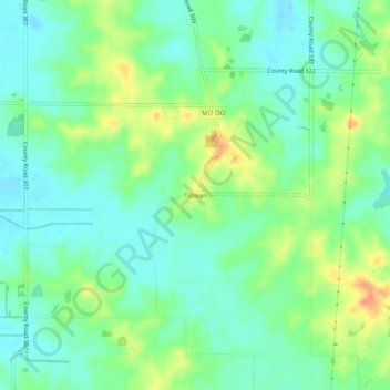
Tillman topographic map
Click on the map to display elevation.
About this map
Name: Tillman topographic map, elevation, terrain.
Location: Tillman, Stoddard County, Missouri, 63730, United States (37.03533 -89.88426 37.07533 -89.84426)
Average elevation: 404 ft
Minimum elevation: 354 ft
Maximum elevation: 492 ft
Stoddard County trails, hiking, mountain biking, running and outdoor activities
Other topographic maps
Click on a map to view its topography, its elevation and its terrain.