
Bonia topographic map
Interactive map
Click on the map to display elevation.
About this map
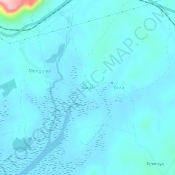
Name: Bonia topographic map, elevation, terrain.
Location: Bonia, Kindia Region, Guinea (9.85527 -13.58780 9.89527 -13.54780)
Average elevation: 56 ft
Minimum elevation: -3 ft
Maximum elevation: 738 ft
Other topographic maps
Click on a map to view its topography, its elevation and its terrain.
Sambayah
Guinea > Kindia Region > Coyah
Sambayah, Coyah, Kindia Region, Guinea
Average elevation: 125 ft