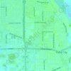
Yuba City topographic map
Click on the map to display elevation.
Yuba City
On March 14, 1961, a Boeing B-52 Stratofortress carrying nuclear weapons, flying near Yuba City, encountered a pressurization problem, and had to drop to a lower altitude. Because of this, more fuel than expected was used, and the aircraft ran out of fuel. It crashed before meeting with a tanker aircraft. The pilot gave the bailout command, and the crew egressed at 10,000 ft, except for the pilot, who ejected at 4,000 ft, while avoiding a populated area. The aircraft was destroyed. The weapons, two Mark 39 (3.8 megatons each) thermonuclear bombs (identified from declassified Department of Energy films and photographs) were destroyed on impact though no explosion took place, and there was no release of radioactive material as a result.
About this map
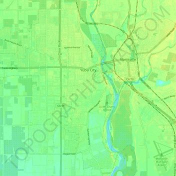
Name: Yuba City topographic map, elevation, terrain.
Location: Yuba City, Sutter County, California, United States (39.08706 -121.68887 39.17819 -121.59891)
Average elevation: 59 ft
Minimum elevation: 30 ft
Maximum elevation: 85 ft
Sutter County trails, hiking, mountain biking, running and outdoor activities
Other topographic maps
Click on a map to view its topography, its elevation and its terrain.