
Make a donation
Gear up for your next adventure:
As an Amazon Associate, this site earns from qualifying purchases at no extra cost to you.
Fountain topographic map
Click on the map to display elevation.
Make a donation
Gear up for your next adventure:
As an Amazon Associate, this site earns from qualifying purchases at no extra cost to you.
Fountain
Fountain is claimed as the sinkhole capital of the United States of America due to the prevalence of karst topography.
Make a donation
Gear up for your next adventure:
As an Amazon Associate, this site earns from qualifying purchases at no extra cost to you.
About this map
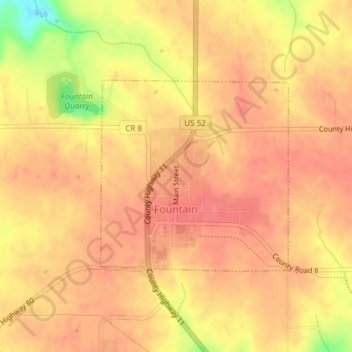
Name: Fountain topographic map, elevation, terrain.
Location: Fountain, Fillmore County, Minnesota, United States (43.73519 -92.14427 43.74988 -92.12429)
Average elevation: 1,270 ft
Minimum elevation: 1,099 ft
Maximum elevation: 1,329 ft
Fillmore County trails, hiking, mountain biking, running and outdoor activities
Make a donation
Gear up for your next adventure:
As an Amazon Associate, this site earns from qualifying purchases at no extra cost to you.
Other topographic maps
Click on a map to view its topography, its elevation and its terrain.