Geolocate

Ikutha topographic map

Click on the map to display elevation.

About this map

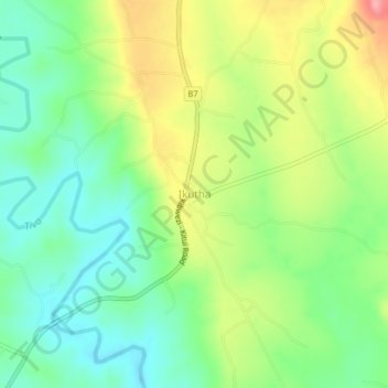
Name: Ikutha topographic map, elevation, terrain.

Location: Ikutha, Kitui South, Kitui County, Eastern, Kenya (-2.08503 38.15930 -2.04503 38.19930)

Average elevation: 2,283 ft

Minimum elevation: 2,136 ft

Maximum elevation: 2,516 ft

Gear up for your next adventure:

🪶Multi‑Purpose Knife - Useful blade for camp and trail
🩳Quick‑Dry Hiking Shorts - Comfortable and quick‑dry shorts for summer hiking
🛰️Satellite Messengers - Emergency SOS and two-way messaging for off-grid adventures
🚗GPS Dash Cams - Record your scenic drives through mountain passes and canyons
📻Weather Alert Radios - Stay informed of storm risks while off-the-grid

As an Amazon Associate, this site earns from qualifying purchases at no extra cost to you.