
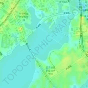
汤逊湖 topographic map
Interactive map
Click on the map to display elevation.
About this map
Name: 汤逊湖 topographic map, elevation, terrain.
Location: 汤逊湖, 江夏区, 武汉市, 湖北省, 中国 (30.43611 114.39639 30.44638 114.40896)
Average elevation: 75 ft
Minimum elevation: 49 ft
Maximum elevation: 121 ft
Other topographic maps
Click on a map to view its topography, its elevation and its terrain.