
汤逊湖 topographic map
Interactive map
Click on the map to display elevation.
About this map
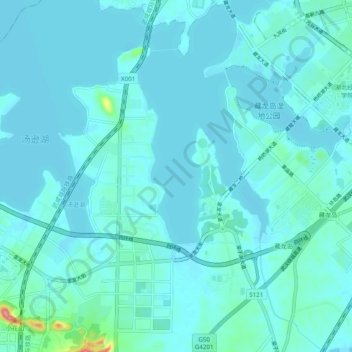
Name: 汤逊湖 topographic map, elevation, terrain.
Location: 汤逊湖, 四环线, 江夏区, 武汉市, 湖北省, 中国 (30.35784 114.37100 30.44173 114.42335)
Average elevation: 85 ft
Minimum elevation: 52 ft
Maximum elevation: 407 ft
Other topographic maps
Click on a map to view its topography, its elevation and its terrain.