
殷家庄村 topographic map
Interactive map
Click on the map to display elevation.
About this map
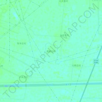
Name: 殷家庄村 topographic map, elevation, terrain.
Location: 殷家庄村, 沧州市, 河北省, 061000, 中国 (38.18389 116.82604 38.22389 116.86604)
Average elevation: 33 ft
Minimum elevation: 20 ft
Maximum elevation: 43 ft
Other topographic maps
Click on a map to view its topography, its elevation and its terrain.