
边西村 topographic map
Interactive map
Click on the map to display elevation.
About this map
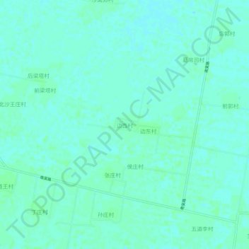
Name: 边西村 topographic map, elevation, terrain.
Location: 边西村, 沧州市, 河北省, 061000, 中国 (37.67880 116.54562 37.71880 116.58562)
Average elevation: 59 ft
Minimum elevation: 49 ft
Maximum elevation: 69 ft
Other topographic maps
Click on a map to view its topography, its elevation and its terrain.