
Manning Park topographic map
Click on the map to display elevation.
About this map
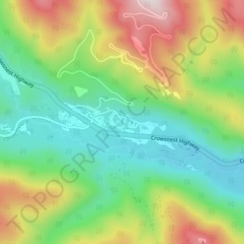
Name: Manning Park topographic map, elevation, terrain.
Average elevation: 4,659 ft
Minimum elevation: 3,743 ft
Maximum elevation: 6,319 ft
Other topographic maps
Click on a map to view its topography, its elevation and its terrain.
Lightning Lake
Canada > British Columbia > Regional District of Okanagan-Similkameen > Area H (Manning Park/Tulameen/Siwash)
Average elevation: 4,652 ft
Chapman Lake
Canada > British Columbia > Regional District of Okanagan-Similkameen > Area H (Manning Park/Tulameen/Siwash)
Average elevation: 5,476 ft
Allison Lake
Canada > British Columbia > Regional District of Okanagan-Similkameen > Area H (Manning Park/Tulameen/Siwash)
Average elevation: 3,743 ft
Rampart Lake
Canada > British Columbia > Regional District of Okanagan-Similkameen > Area H (Manning Park/Tulameen/Siwash)
Average elevation: 4,373 ft
Chain Lake
Canada > British Columbia > Regional District of Okanagan-Similkameen > Area H (Manning Park/Tulameen/Siwash)
Average elevation: 3,822 ft