
Ilha Deserta topographic map
Interactive map
Click on the map to display elevation.
About this map
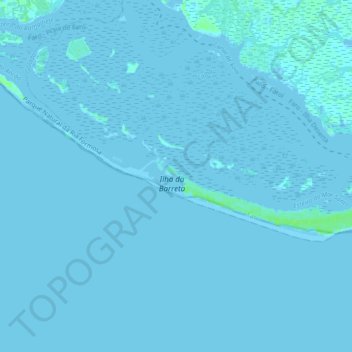
Name: Ilha Deserta topographic map, elevation, terrain.
Location: Ilha Deserta, Faro, Algarve, Portugal (36.95968 -7.96265 36.98738 -7.87067)
Average elevation: 0 ft
Minimum elevation: -16 ft
Maximum elevation: 23 ft
Other topographic maps
Click on a map to view its topography, its elevation and its terrain.
Ilha da Culatra
Ilha da Culatra, Faro, Algarve, Portugal
Average elevation: 0 ft