
Ilha da Culatra topographic map
Interactive map
Click on the map to display elevation.
About this map
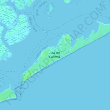
Name: Ilha da Culatra topographic map, elevation, terrain.
Location: Ilha da Culatra, Faro, Algarve, Portugal (36.96316 -7.86899 37.00844 -7.80076)
Average elevation: 0 ft
Minimum elevation: -3 ft
Maximum elevation: 39 ft
Other topographic maps
Click on a map to view its topography, its elevation and its terrain.