Geolocate

Simpson topographic map

Click on the map to display elevation.

About this map

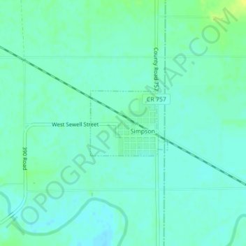
Name: Simpson topographic map, elevation, terrain.

Location: Simpson, Mitchell County, Kansas, 67478, United States (39.38256 -97.93887 39.38970 -97.92791)

Average elevation: 1,335 ft

Minimum elevation: 1,316 ft

Maximum elevation: 1,378 ft

Mitchell County trails, hiking, mountain biking, running and outdoor activities

Other topographic maps

Click on a map to view its topography, its elevation and its terrain.

Victor

United States > Kansas > Mitchell County

Average elevation: 1,509 ft

Asherville

United States > Kansas > Mitchell County

Average elevation: 1,352 ft

Gear up for your next adventure:

🧥Men's Rain Shells - Premium waterproof and breathable jackets for mountain weather
🪶Trail Camera - Capture wildlife on your hikes
🥩Freeze-Dried Meals - Nutritious and lightweight food for remote expeditions
🧣Merino Neck Gaiters - Multi-functional headwear for wind and sun protection
🧺Microfiber Travel Towels - Compact and fast-drying towels for trail use

As an Amazon Associate, this site earns from qualifying purchases at no extra cost to you.