Geolocate

Victor topographic map

Click on the map to display elevation.

About this map

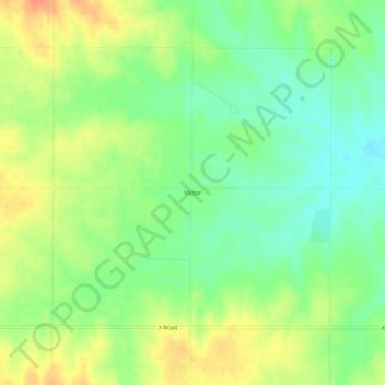
Name: Victor topographic map, elevation, terrain.

Location: Victor, Mitchell County, Kansas, United States (39.22806 -98.30395 39.26806 -98.26395)

Average elevation: 1,509 ft

Minimum elevation: 1,440 ft

Maximum elevation: 1,591 ft

Mitchell County trails, hiking, mountain biking, running and outdoor activities

Other topographic maps

Click on a map to view its topography, its elevation and its terrain.

Beloit

United States > Kansas > Mitchell County

Average elevation: 1,417 ft

Simpson

United States > Kansas > Mitchell County

Average elevation: 1,335 ft

Cawker City

United States > Kansas > Mitchell County

Average elevation: 1,490 ft

Hunter

United States > Kansas > Mitchell County

Average elevation: 1,624 ft

Gear up for your next adventure:

🛌Ultralight Sleeping Bags - Compact down bags for cold nights in the wilderness
🧭GPS Watch Accessories - Bands and chargers for GPS watches
🌐World Map Poster - Decorative world maps with topographic info
🕶️Glacier Sunglasses - Side shields to protect eyes from high-altitude snow glare
🪶LED Camping Lantern - Bright lantern for camp lighting

As an Amazon Associate, this site earns from qualifying purchases at no extra cost to you.